


Seine Port 19-11-2019

robinier
User
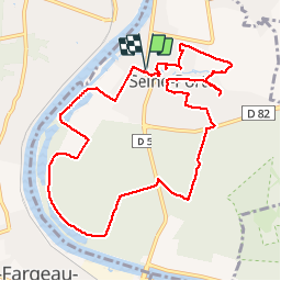

Length
10.7 km

Max alt
86 m

Uphill gradient
117 m
Km-Effort
12.2 km

Min alt
37 m

Downhill gradient
117 m
Boucle
Yes
Creation date :
2019-11-19 08:00:00.0
Updated on :
2019-11-19 11:13:54.384
2h58
Difficulty : Unknown

FREE GPS app for hiking
 SityTrail
IGN / Geographical institutes
SityTrail Plus
The world is yours!
About
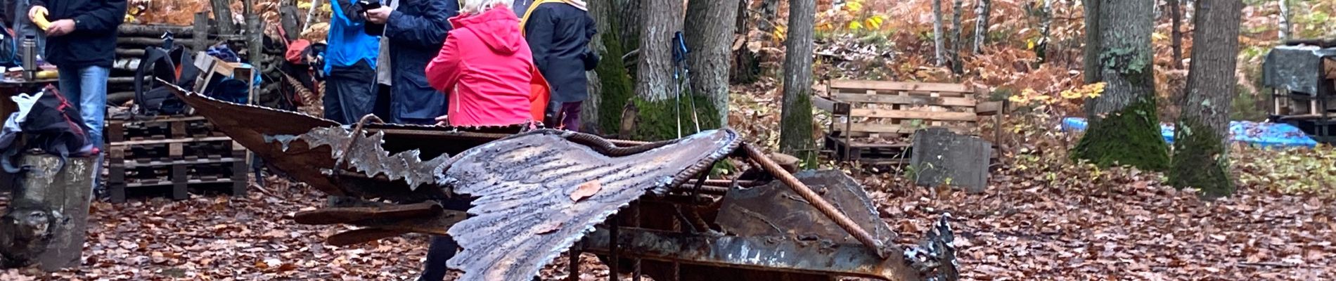
Trail Walking of 10.7 km to be discovered at Ile-de-France, Seine-et-Marne, Seine-Port. This trail is proposed by robinier.
Photos

Positioning
Country:
France
Region :
Ile-de-France
Department/Province :
Seine-et-Marne
Municipality :
Seine-Port
Location:
Unknown
Start:(Dec)
Start:(UTM)
466641 ; 5378465 (31U) N.
Comments