


Château bas-Vernègues-chapelle

Berpav
User
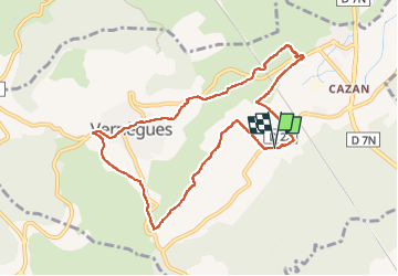

Length
9.8 km

Max alt
308 m

Uphill gradient
164 m
Km-Effort
12 km

Min alt
187 m

Downhill gradient
162 m
Boucle
Yes
Creation date :
2019-11-19 12:43:49.754
Updated on :
2023-01-05 08:53:34.292
2h42
Difficulty : Easy

FREE GPS app for hiking
 SityTrail
IGN / Geographical institutes
SityTrail Plus
The world is yours!
About
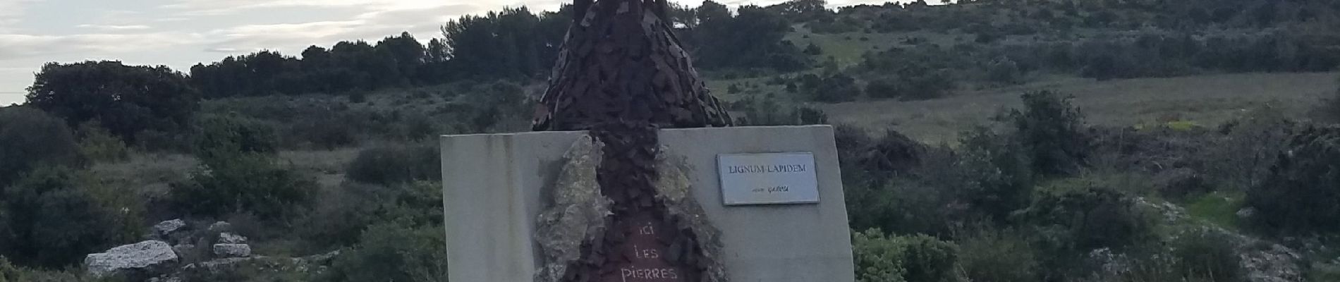
Trail Walking of 9.8 km to be discovered at Provence-Alpes-Côte d'Azur, Bouches-du-Rhône, Vernègues. This trail is proposed by Berpav.
Photos


Positioning
Country:
France
Region :
Provence-Alpes-Côte d'Azur
Department/Province :
Bouches-du-Rhône
Municipality :
Vernègues
Location:
Unknown
Start:(Dec)
Start:(UTM)
676889 ; 4839081 (31T) N.
Comments
super
Randonnée charmante et variée.