


VTT 24/11/19 Luneville

vathi54
User
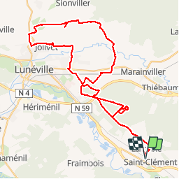

Length
42 km

Max alt
295 m

Uphill gradient
321 m
Km-Effort
46 km

Min alt
221 m

Downhill gradient
321 m
Boucle
Yes
Creation date :
2019-11-24 08:20:01.202
Updated on :
2019-11-24 18:22:20.201
3h56
Difficulty : Medium

FREE GPS app for hiking
 SityTrail
IGN / Geographical institutes
SityTrail Plus
The world is yours!
About
Trail Mountain bike of 42 km to be discovered at Grand Est, Meurthe-et-Moselle, Saint-Clément. This trail is proposed by vathi54.
Description
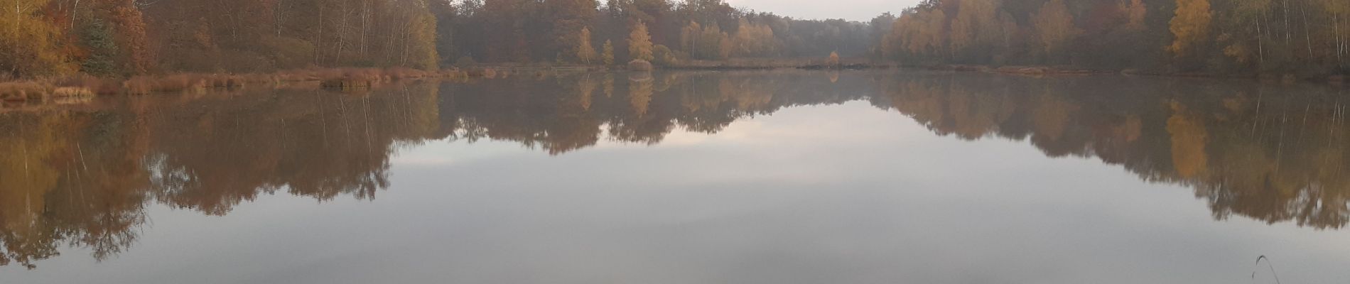
Randonnée ensoleillée avec David, Fabrice et Joel. Tour de l'étang de Mondon puis Haut de La Coye et retour par Croismare sur des chemins bien avec de la boue bien collante
Photos


Positioning
Country:
France
Region :
Grand Est
Department/Province :
Meurthe-et-Moselle
Municipality :
Saint-Clément
Location:
Unknown
Start:(Dec)
Start:(UTM)
322976 ; 5378333 (32U) N.
Comments