


22

jpmv
User
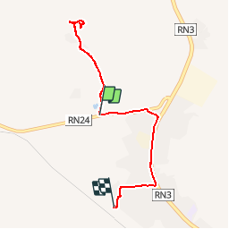

Length
9.7 km

Max alt
409 m

Uphill gradient
81 m
Km-Effort
10.8 km

Min alt
378 m

Downhill gradient
69 m
Boucle
No
Creation date :
2019-11-24 09:36:26.536
Updated on :
2019-11-25 18:57:48.999
2h56
Difficulty : Very easy

FREE GPS app for hiking
 SityTrail
IGN / Geographical institutes
SityTrail Plus
The world is yours!
About
Trail Walking of 9.7 km to be discovered at Koulikoro, Kati Cercle. This trail is proposed by jpmv.
Positioning
Country:
Mali
Region :
Koulikoro
Department/Province :
Kati Cercle
Municipality :
Tana
Location:
Unknown
Start:(Dec)
Start:(UTM)
595161 ; 1413050 (29P) N.
Comments