


rando3

gottfried
User
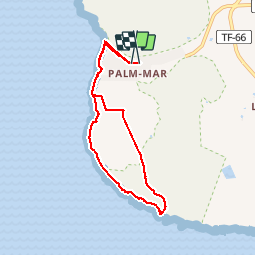

Length
9.8 km

Max alt
27 m

Uphill gradient
83 m
Km-Effort
10.8 km

Min alt
-4 m

Downhill gradient
76 m
Boucle
Yes
Creation date :
2019-11-27 09:24:35.834
Updated on :
2019-11-27 13:26:01.166
3h59
Difficulty : Very easy

FREE GPS app for hiking
 SityTrail
IGN / Geographical institutes
SityTrail Plus
The world is yours!
About
Trail Walking of 9.8 km to be discovered at Canary Islands, Santa Cruz de Tenerife, Arona. This trail is proposed by gottfried.
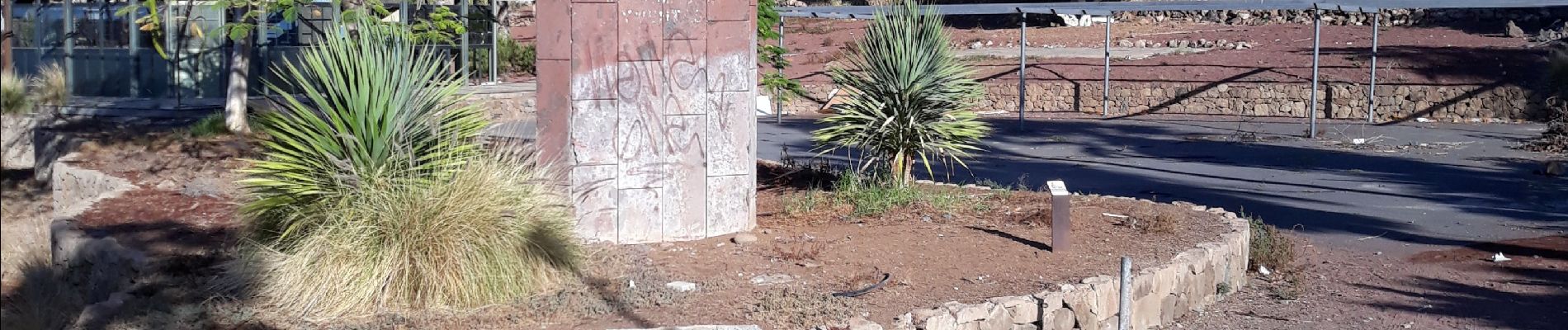
Photos


86 photos in total. Please click on a photo to see them all in the gallery.
Positioning
Country:
Spain
Region :
Canary Islands
Department/Province :
Santa Cruz de Tenerife
Municipality :
Arona
Location:
Unknown
Start:(Dec)
Start:(UTM)
332889 ; 3101012 (28R) N.
Comments