Langs Schelde en E17

bometdehamer
User
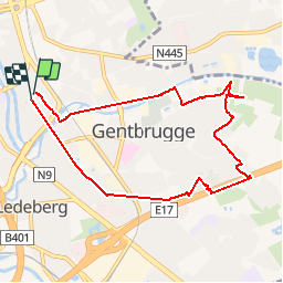

Length
7.9 km

Max alt
16 m

Uphill gradient
51 m
Km-Effort
8.5 km

Min alt
-1 m

Downhill gradient
48 m
Boucle
Yes
Creation date :
2019-11-28 13:05:04.0
Updated on :
2019-11-28 15:37:34.911
1h58
Difficulty : Very easy

FREE GPS app for hiking
 SityTrail
IGN / Geographical institutes
SityTrail Plus
The world is yours!
About
Trail Walking of 7.9 km to be discovered at Flanders, East Flanders, Ghent. This trail is proposed by bometdehamer.
Description
Mooie wandeling met één minpunt: het lawaai van de E17
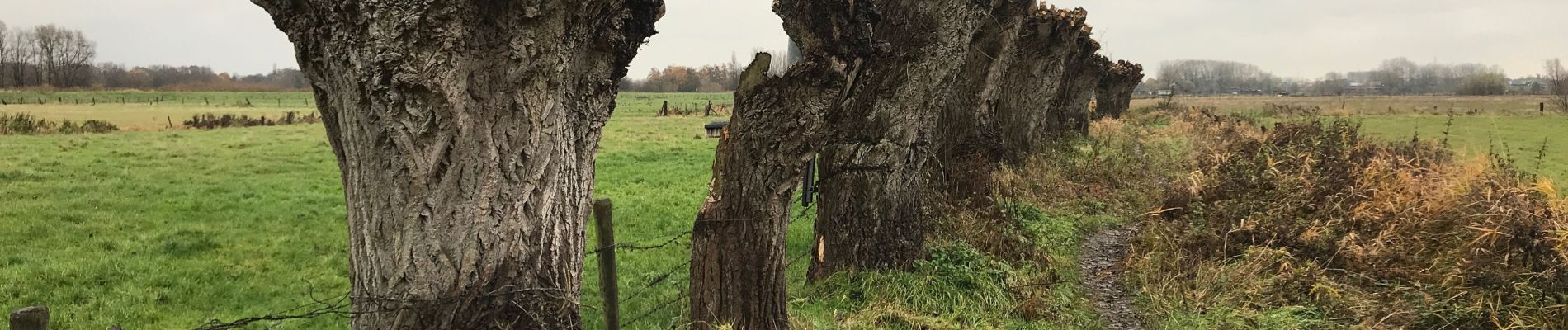
Photos


Positioning
Country:
Belgium
Region :
Flanders
Department/Province :
East Flanders
Municipality :
Ghent
Location:
Ghent
Start:(Dec)
Start:(UTM)
552005 ; 5655449 (31U) N.
Comments