


GLM 2013_10 16

jcm17
User
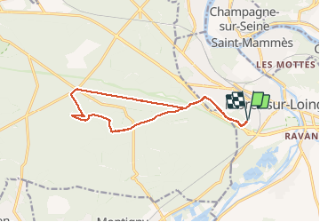

Length
13.6 km

Max alt
137 m

Uphill gradient
139 m
Km-Effort
15.5 km

Min alt
87 m

Downhill gradient
140 m
Boucle
Yes
Creation date :
2014-12-10 00:00:00.0
Updated on :
2014-12-10 00:00:00.0
3h24
Difficulty : Easy

FREE GPS app for hiking
 SityTrail
IGN / Geographical institutes
SityTrail Plus
The world is yours!
About
Trail Walking of 13.6 km to be discovered at Ile-de-France, Seine-et-Marne, Moret-Loing-et-Orvanne. This trail is proposed by jcm17.
Description
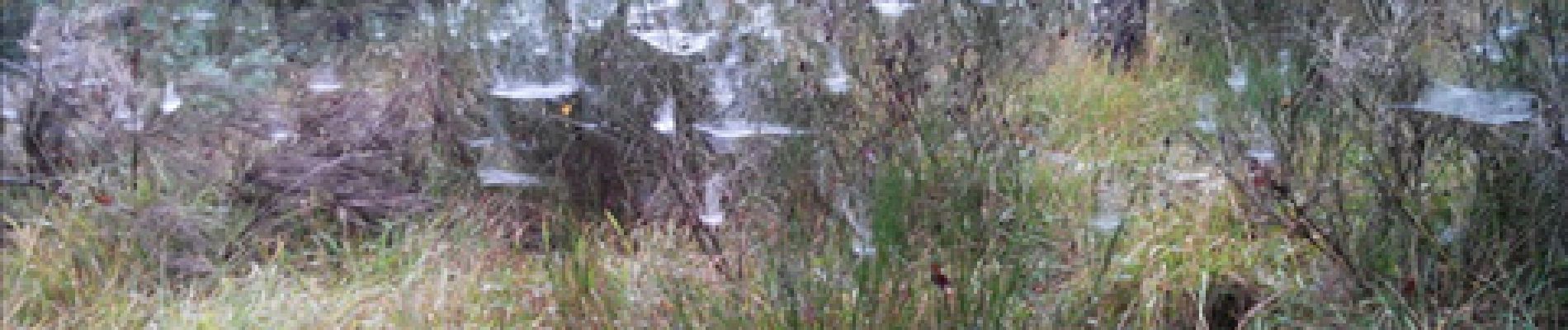
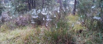
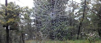
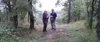
rando GLM du 16 octobre 2013
(3 marcheurs, des toiles d'araignées, et une lépiote)
Photos


Positioning
Country:
France
Region :
Ile-de-France
Department/Province :
Seine-et-Marne
Municipality :
Moret-Loing-et-Orvanne
Location:
Moret-sur-Loing
Start:(Dec)
Start:(UTM)
485627 ; 5357279 (31U) N.
Comments