


Mont Redon-Generargue

access
User
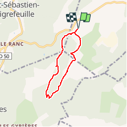

Length
5.4 km

Max alt
343 m

Uphill gradient
114 m
Km-Effort
6.9 km

Min alt
270 m

Downhill gradient
114 m
Boucle
Yes
Creation date :
2019-12-02 09:47:35.844
Updated on :
2019-12-02 11:42:51.77
1h30
Difficulty : Medium

FREE GPS app for hiking
 SityTrail
IGN / Geographical institutes
SityTrail Plus
The world is yours!
About
Trail Walking of 5.4 km to be discovered at Occitania, Gard, Saint-Jean-du-Pin. This trail is proposed by access.
Description
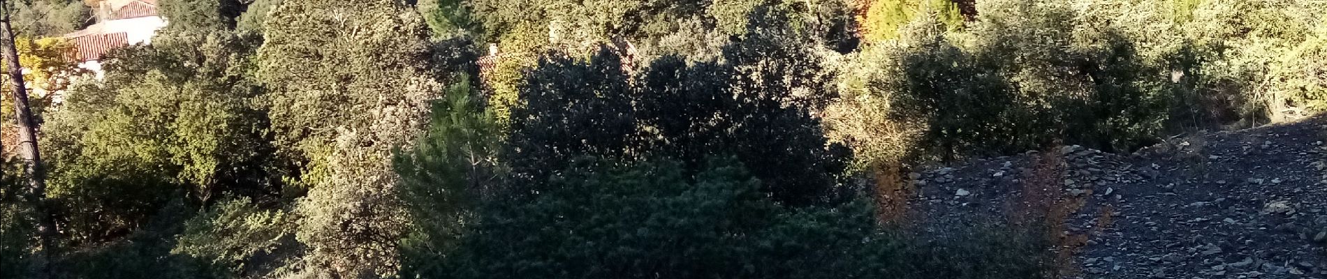
Belles vues sur St Sébastien d'Aigrefeuille, Generargue et les falaises d'Anduze.
Petites montées à l'aller et plat sur le retour
Photos


Positioning
Country:
France
Region :
Occitania
Department/Province :
Gard
Municipality :
Saint-Jean-du-Pin
Location:
Unknown
Start:(Dec)
Start:(UTM)
581411 ; 4883667 (31T) N.
Comments