


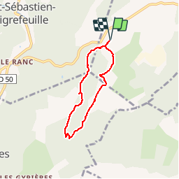

16.5 km | 24 km-effort

User


FREE GPS app for hiking
 SityTrail
IGN / Geographical institutes
SityTrail World
The world is yours!
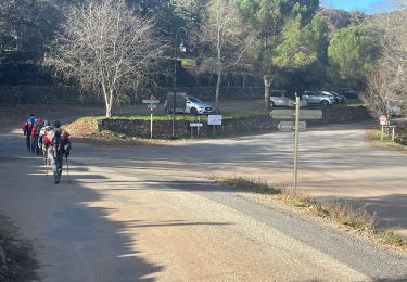
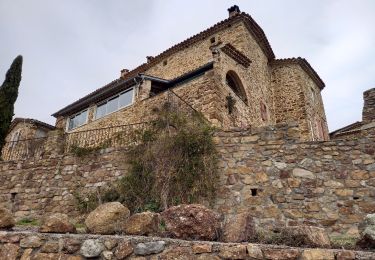
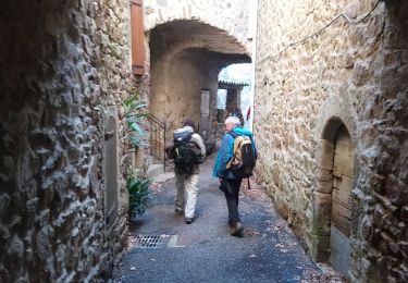
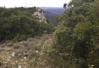
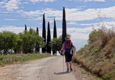
Trail Walking of 5.4 km to be discovered at Occitania, Gard, Saint-Jean-du-Pin. This trail is proposed by access.
Belles vues sur St Sébastien d'Aigrefeuille, Generargue et les falaises d'Anduze.
Petites montées à l'aller et plat sur le retour


Walking
Walking
Walking
Walking
Walking

Walking
Walking
Walking

Walking