


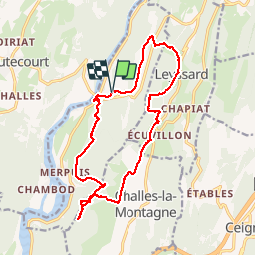

10.5 km | 14.5 km-effort


User


FREE GPS app for hiking
 SityTrail
IGN / Geographical institutes
SityTrail World
The world is yours!
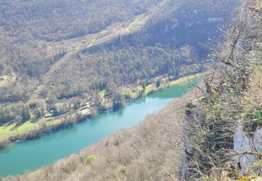
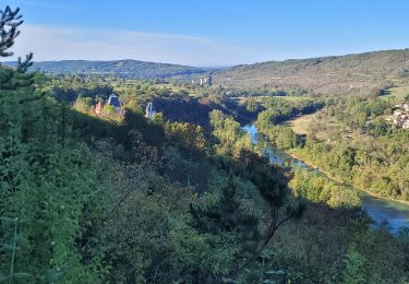
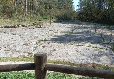
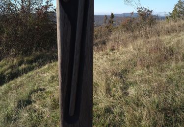
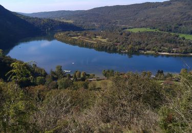
Trail Walking of 16.7 km to be discovered at Auvergne-Rhône-Alpes, Ain, Serrières-sur-Ain. This trail is proposed by HB01.
Depart parking Mairie de Serrieres Belvedere de Merpuis; retour par Sonthonnax le vignoble

Walking
Walking
Walking


sport
Walking
Walking
Walking

Walking
Walking