


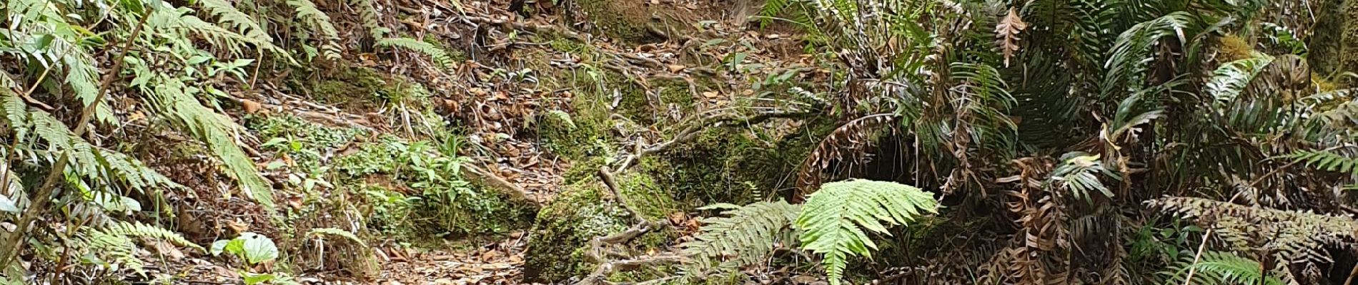
Tour piton Bebour

lgmalherbe
User
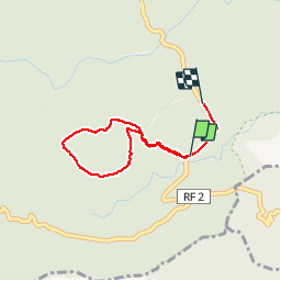

Length
3.6 km

Max alt
1438 m

Uphill gradient
125 m
Km-Effort
5.2 km

Min alt
1334 m

Downhill gradient
109 m
Boucle
No
Creation date :
2019-12-08 06:59:13.674
Updated on :
2019-12-08 10:43:15.865
1h34
Difficulty : Very easy

FREE GPS app for hiking
 SityTrail
IGN / Geographical institutes
SityTrail Plus
The world is yours!
About
Trail Walking of 3.6 km to be discovered at Réunion, Unknown, Saint-Benoît. This trail is proposed by lgmalherbe.
Photos


Positioning
Country:
France
Region :
Réunion
Department/Province :
Unknown
Municipality :
Saint-Benoît
Location:
Unknown
Start:(Dec)
Start:(UTM)
351488 ; 7662972 (40K) S.
Comments