


REILLANNE . Pierrefeu . SAINTE CROIX A LAUZE . VACHERES o

RobinMicheline
User GUIDE
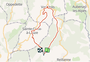

Length
15.9 km

Max alt
858 m

Uphill gradient
513 m
Km-Effort
23 km

Min alt
441 m

Downhill gradient
512 m
Boucle
Yes
Creation date :
2019-12-10 08:12:35.441
Updated on :
2019-12-22 17:04:20.433
6h48
Difficulty : Difficult

FREE GPS app for hiking
 SityTrail
IGN / Geographical institutes
SityTrail Plus
The world is yours!
About
Trail Walking of 15.9 km to be discovered at Provence-Alpes-Côte d'Azur, Alpes-de-Haute-Provence, Reillanne. This trail is proposed by RobinMicheline.
Description
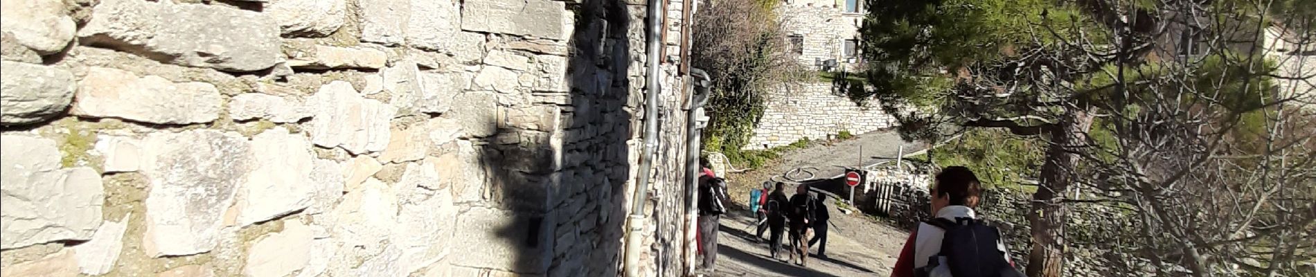
Belle rando , sentiers sympas , village de Vacheres magnifique
Photos

Positioning
Country:
France
Region :
Provence-Alpes-Côte d'Azur
Department/Province :
Alpes-de-Haute-Provence
Municipality :
Reillanne
Location:
Unknown
Start:(Dec)
Start:(UTM)
711500 ; 4862340 (31T) N.
Comments