


Romagnat_Plateau_Gergovie

jagarnier
User GUIDE
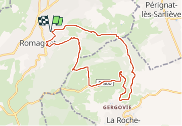

Length
9.5 km

Max alt
727 m

Uphill gradient
324 m
Km-Effort
13.9 km

Min alt
468 m

Downhill gradient
326 m
Boucle
Yes
Creation date :
2019-12-11 08:15:20.887
Updated on :
2023-01-19 13:05:57.33
2h45
Difficulty : Medium

FREE GPS app for hiking
 SityTrail
IGN / Geographical institutes
SityTrail Plus
The world is yours!
About
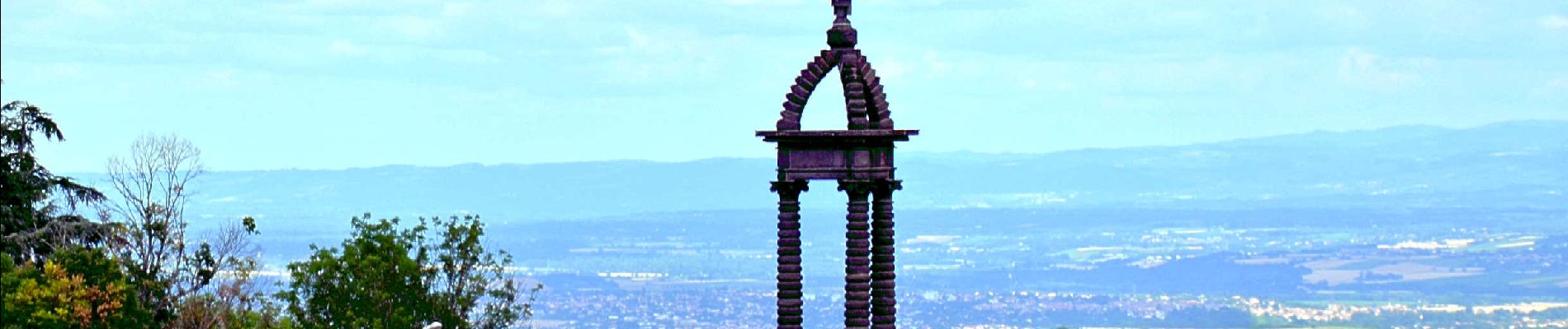
Trail Walking of 9.5 km to be discovered at Auvergne-Rhône-Alpes, Puy-de-Dôme, Romagnat. This trail is proposed by jagarnier.
Photos

Positioning
Country:
France
Region :
Auvergne-Rhône-Alpes
Department/Province :
Puy-de-Dôme
Municipality :
Romagnat
Location:
Unknown
Start:(Dec)
Start:(UTM)
508019 ; 5064122 (31T) N.
Comments