


Rocher de la Cresta

ajd26
User


Length
13.1 km

Max alt
888 m

Uphill gradient
776 m
Km-Effort
23 km

Min alt
280 m

Downhill gradient
775 m
Boucle
Yes
Creation date :
2019-12-12 08:42:40.0
Updated on :
2019-12-12 17:30:41.991
6h00
Difficulty : Difficult

FREE GPS app for hiking
 SityTrail
IGN / Geographical institutes
SityTrail Plus
The world is yours!
About
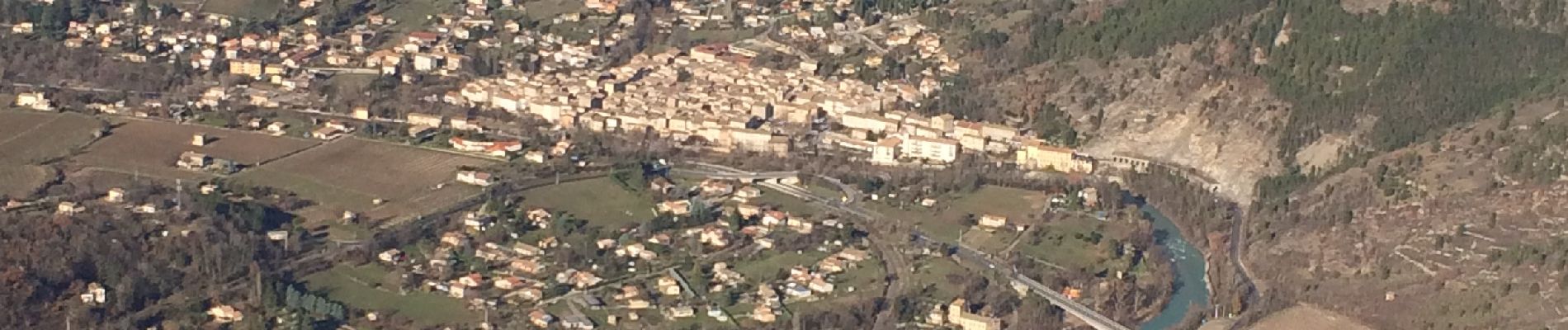
Trail Walking of 13.1 km to be discovered at Auvergne-Rhône-Alpes, Drôme, Saillans. This trail is proposed by ajd26.
Description
Départ de Saillans,route du col de la Chaudière, col d’Espenel, rochers de la Cresta (il faut mettre les mains dans le final). Superbe panorama sur la vallée de la Drôme et retour par Castel-Arnaud
Photos

Positioning
Country:
France
Region :
Auvergne-Rhône-Alpes
Department/Province :
Drôme
Municipality :
Saillans
Location:
Unknown
Start:(Dec)
Start:(UTM)
674342 ; 4951062 (31T) N.
Comments