


tornac

Bwattier
User
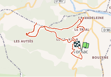

Length
12.7 km

Max alt
414 m

Uphill gradient
369 m
Km-Effort
17.6 km

Min alt
136 m

Downhill gradient
372 m
Boucle
Yes
Creation date :
2019-12-15 09:14:42.55
Updated on :
2019-12-15 15:12:54.563
4h43
Difficulty : Very easy

FREE GPS app for hiking
 SityTrail
IGN / Geographical institutes
SityTrail Plus
The world is yours!
About
Trail Walking of 12.7 km to be discovered at Occitania, Gard, Tornac. This trail is proposed by Bwattier.
Positioning
Country:
France
Region :
Occitania
Department/Province :
Gard
Municipality :
Tornac
Location:
Unknown
Start:(Dec)
Start:(UTM)
579906 ; 4874864 (31T) N.
Comments