


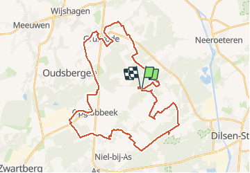

17.8 km | 20 km-effort

User


FREE GPS app for hiking
 SityTrail
IGN / Geographical institutes
SityTrail World
The world is yours!
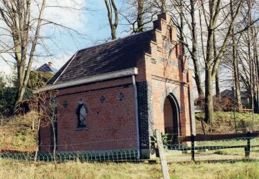
Trail Electric bike of 41 km to be discovered at Flanders, Limburg, Maaseik. This trail is proposed by bometdehamer.
Vanaf camping Zavelbos een korte rit langs knooppunten 37,35,570,571,261,34,526,527,70,529,528,500,501,42,38 en Zavelbos. Zelfs in de winter een mooi ritje!


Walking
On foot
On foot
On foot
On foot
On foot
On foot
On foot
On foot