


2007

maxEA65
User

Length
24 km

Max alt
168 m

Uphill gradient
133 m
Km-Effort
25 km

Min alt
151 m

Downhill gradient
129 m
Boucle
No
Creation date :
2019-12-20 07:30:42.344
Updated on :
2019-12-20 12:15:44.28
2h35
Difficulty : Very easy

FREE GPS app for hiking
 SityTrail
IGN / Geographical institutes
SityTrail Plus
The world is yours!
About
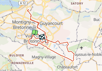
Trail Walking of 24 km to be discovered at Ile-de-France, Yvelines, Voisins-le-Bretonneux. This trail is proposed by maxEA65.
Positioning
Country:
France
Region :
Ile-de-France
Department/Province :
Yvelines
Municipality :
Voisins-le-Bretonneux
Location:
Unknown
Start:(Dec)
Start:(UTM)
429907 ; 5401051 (31U) N.
Comments