Trail Walking Moncey - Moncey - Valeroy  - Photo
© OpenStreetMap contributors
Length
Length
12 km
Max alt
Max alt
285 m
Uphill gradient
Uphill gradient
174 m
Km-Effort
Km-Effort  
14.3 km
Min alt
Min alt
219 m
Downhill gradient
Downhill gradient
173 m
Boucle
Boucle
Yes
Creation date :
2019-12-21 12:59:20.304
Updated on :
2023-12-16 18:10:16.833

(2 Reviews)

Walking
Walking
3h14
Difficulty : Difficult

Scan this QR Code to open this trail in the SityTrail application

FREE GPS app for hiking

Logo SityTrail SityTrail

IGN / Geographical institutes

Download SityTrail from the App Store Download SityTrail from Google Play

Logo SityTrail SityTrail Plus

The world is yours!

Download SityTrail from the App Store Download SityTrail from Google Play Download SityTrail on Huawei AppGallery

About

Trail Walking of 12 km to be discovered at Bourgogne-Franche-Comté, Doubs, Moncey. This trail is proposed by eltonnermou.

Description

12 km réels ; randonnée pieds 1/2 propres.
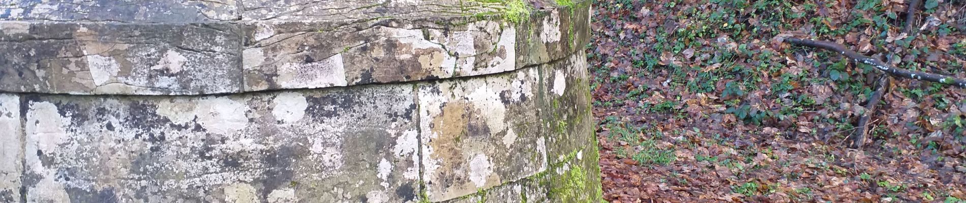
à voir le château 18ième S et les 2 fontaines (une de 1873 et l'autre du 13ième S) de Moncey, à Valeroy voir la fontaine appelée "chambre de source". L'autre partie de la randonnée se fait en sous bois et/ou sur le bord de l'Ognon.
Randonnée sympa à faire en famille

Elevation profile

Photos

Positioning

Country:
France
Region :
Bourgogne-Franche-Comté
Department/Province :
Doubs
Municipality :
Moncey
Location:
Unknown
Start:(UTM)
282756 ; 5249552 (32T) N.

Comments

Please log in to post a review or rate the element


Close
My subscriptions