


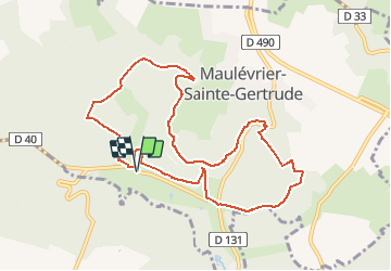


9.7 km | 12.5 km-effort


User


FREE GPS app for hiking
 SityTrail
IGN / Geographical institutes
SityTrail World
The world is yours!
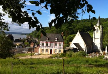
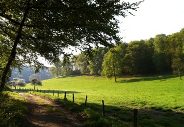
Trail Walking of 9.6 km to be discovered at Normandy, Seine-Maritime, Maulévrier-Sainte-Gertrude. This trail is proposed by JMCMoreau.
Randonnée marche de difficulté moyenne
Walking

Walking

Walking
Walking

Walking
Mountain bike

Walking
Walking

Walking