Trail Walking Égliseneuve-près-Billom - Egliseneuve_Madet - Photo
 jagarnier
jagarnier

User GUIDE

© OpenStreetMap contributors
Length
Length
8.1 km
Max alt
Max alt
613 m
Uphill gradient
Uphill gradient
297 m
Km-Effort
Km-Effort  
12.1 km
Min alt
Min alt
409 m
Downhill gradient
Downhill gradient
295 m
Boucle
Boucle
Yes
Creation date :
2019-12-24 15:02:35.049
Updated on :
2022-08-06 15:35:32.161

(0 Reviews)

Walking
Walking
2h30
Difficulty : Medium

Scan this QR Code to open this trail in the SityTrail application

FREE GPS app for hiking

Logo SityTrail SityTrail

IGN / Geographical institutes

Download SityTrail from the App Store Download SityTrail from Google Play

Logo SityTrail SityTrail Plus

The world is yours!

Download SityTrail from the App Store Download SityTrail from Google Play Download SityTrail on Huawei AppGallery

About

Trail Walking of 8.1 km to be discovered at Auvergne-Rhône-Alpes, Puy-de-Dôme, Égliseneuve-près-Billom. This trail is proposed by jagarnier.

Description

Ambiance bucolique pour cette randonnée alternant entre fraîches vallées et leurs rouets, versants ensoleillés et leurs points de vue sur le château de Montmorin, la chaîne des Puys et le puy de Sancy.
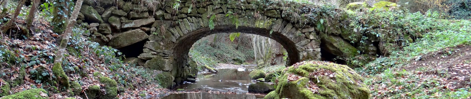
Elevation profile

Photos

Positioning

Country:
France
Region :
Auvergne-Rhône-Alpes
Department/Province :
Puy-de-Dôme
Municipality :
Égliseneuve-près-Billom
Location:
Unknown
Start:(UTM)
530242 ; 5061418 (31T) N.


Close
My subscriptions