


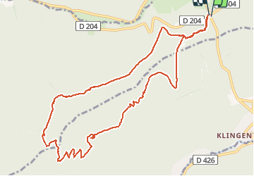

13.6 km | 17.9 km-effort

User


FREE GPS app for hiking
 SityTrail
IGN / Geographical institutes
SityTrail World
The world is yours!
Trail Walking of 11.7 km to be discovered at Grand Est, Bas-Rhin, Rosheim. This trail is proposed by BernardThiry.
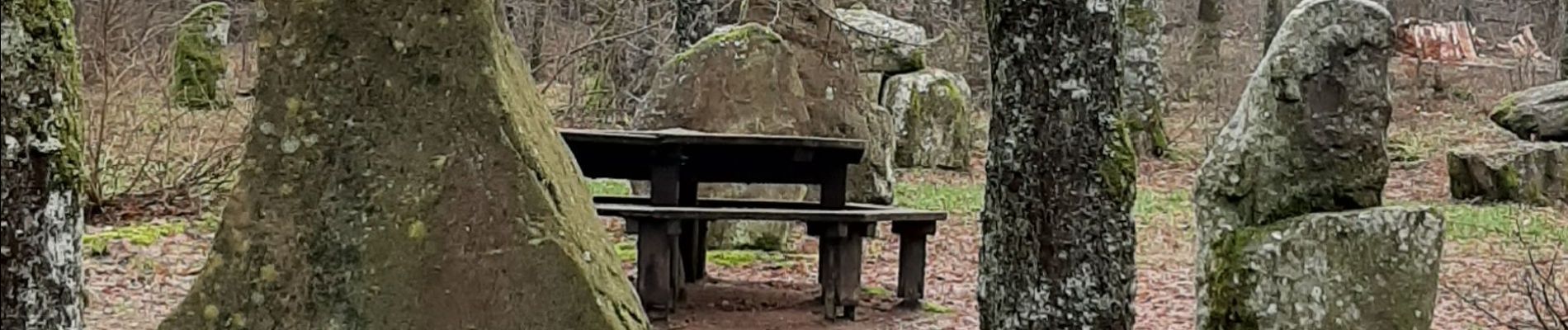
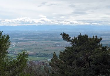
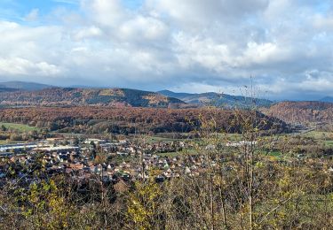
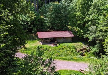
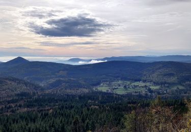
très belle balade boucle


Walking

Walking

Walking

Walking

Mountain bike
Horseback riding
Horseback riding
Horseback riding
Horseback riding