


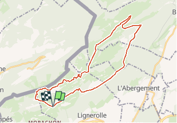


35 km | 53 km-effort


User


FREE GPS app for hiking
 SityTrail
IGN / Geographical institutes
SityTrail World
The world is yours!
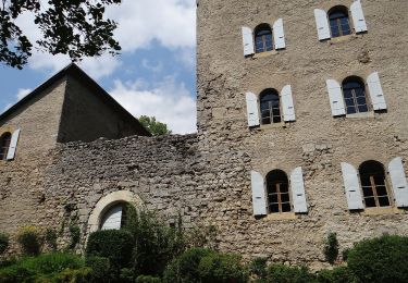
Trail Mountain bike of 18.3 km to be discovered at Vaud, District du Jura-Nord vaudois, Lignerolle. This trail is proposed by vallorbe.


Mountain bike
On foot
On foot
On foot

Walking
Walking
Walking
Walking
Walking