


Clansayes

poisson1103
User
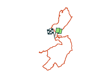

Length
12.1 km

Max alt
297 m

Uphill gradient
364 m
Km-Effort
17 km

Min alt
139 m

Downhill gradient
366 m
Boucle
Yes
Creation date :
2019-12-19 08:39:02.215
Updated on :
2024-02-19 08:56:53.648
3h51
Difficulty : Difficult

FREE GPS app for hiking
 SityTrail
IGN / Geographical institutes
SityTrail Plus
The world is yours!
About
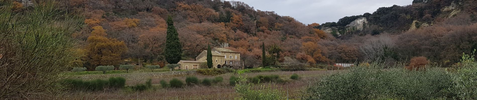
Trail Walking of 12.1 km to be discovered at Auvergne-Rhône-Alpes, Drôme, Clansayes. This trail is proposed by poisson1103.
Description
avec Claudine
Photos


Positioning
Country:
France
Region :
Auvergne-Rhône-Alpes
Department/Province :
Drôme
Municipality :
Clansayes
Location:
Unknown
Start:(Dec)
Start:(UTM)
644065 ; 4914781 (31T) N.
Comments