


Dannes_Neufchatel-Hardelot_2

denissculier
User
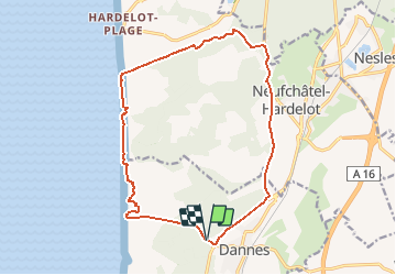

Length
15 km

Max alt
95 m

Uphill gradient
168 m
Km-Effort
17.3 km

Min alt
0 m

Downhill gradient
167 m
Boucle
Yes
Creation date :
2019-12-31 13:56:15.497
Updated on :
2020-01-02 08:30:02.412
3h53
Difficulty : Difficult

FREE GPS app for hiking
 SityTrail
IGN / Geographical institutes
SityTrail Plus
The world is yours!
About
Trail On foot of 15 km to be discovered at Hauts-de-France, Pas-de-Calais, Dannes. This trail is proposed by denissculier.
Positioning
Country:
France
Region :
Hauts-de-France
Department/Province :
Pas-de-Calais
Municipality :
Dannes
Location:
Unknown
Start:(Dec)
Start:(UTM)
401216 ; 5605256 (31U) N.
Comments