


Picherande_Fontaine_Salee_1

jagarnier
User GUIDE
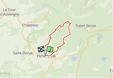


6h00
Difficulty : Difficult

FREE GPS app for hiking
 SityTrail
IGN / Geographical institutes
SityTrail Plus
The world is yours!
About
Trail Walking of 20 km to be discovered at Auvergne-Rhône-Alpes, Puy-de-Dôme, Picherande. This trail is proposed by jagarnier.
Description
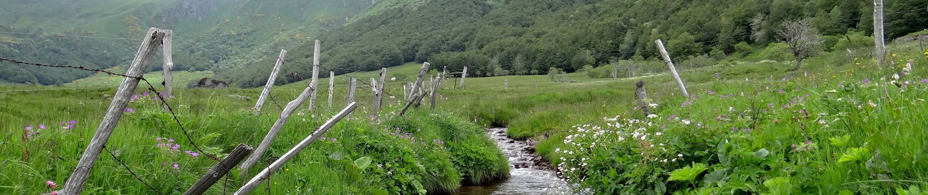
Une journée de marche, au départ de Picherande, permet de découvrir l’impressionnant cirque glaciaire de la fontaine Salée dont l’activité pastorale est aujourd’hui protégée par une réserve naturelle.
Photos

Positioning
Comments