


tour pic saint loup

mthomas30
User
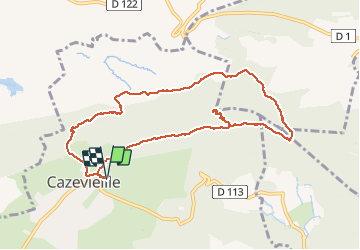

Length
10.1 km

Max alt
645 m

Uphill gradient
584 m
Km-Effort
17.9 km

Min alt
216 m

Downhill gradient
585 m
Boucle
Yes
Creation date :
2019-12-29 10:18:59.35
Updated on :
2020-01-01 16:23:59.314
4h07
Difficulty : Medium

FREE GPS app for hiking
 SityTrail
IGN / Geographical institutes
SityTrail Plus
The world is yours!
About
Trail Walking of 10.1 km to be discovered at Occitania, Hérault, Cazevieille. This trail is proposed by mthomas30.
Positioning
Country:
France
Region :
Occitania
Department/Province :
Hérault
Municipality :
Cazevieille
Location:
Unknown
Start:(Dec)
Start:(UTM)
563815 ; 4846687 (31T) N.
Comments