Trail Walking Beyne-Heusay - Beyne-Heusay - Grivegnée par la Chapelle Sainte-Anne - Photo

Beyne-Heusay - Grivegnée par la Chapelle Sainte-Anne

 pscheven
pscheven

User ADMINGUIDE

© OpenStreetMap contributors
Length
Length
5.1 km
Max alt
Max alt
249 m
Uphill gradient
Uphill gradient
36 m
Km-Effort
Km-Effort  
6 km
Min alt
Min alt
103 m
Downhill gradient
Downhill gradient
170 m
Boucle
Boucle
No
Creation date :
2016-03-09 00:00:00.0
Updated on :
2016-03-09 00:00:00.0

(1 Reviews)

Walking
Walking
45m
Difficulty : Very easy

Scan this QR Code to open this trail in the SityTrail application

FREE GPS app for hiking

Logo SityTrail SityTrail

IGN / Geographical institutes

Download SityTrail from the App Store Download SityTrail from Google Play

Logo SityTrail SityTrail World

The world is yours!

Download SityTrail from the App Store Download SityTrail from Google Play Download SityTrail on Huawei AppGallery

About

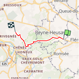
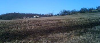
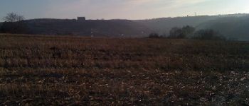
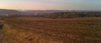
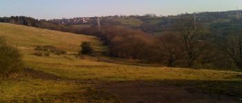
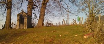
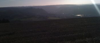
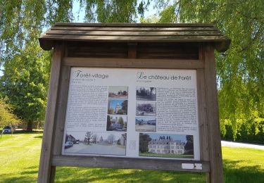
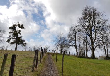
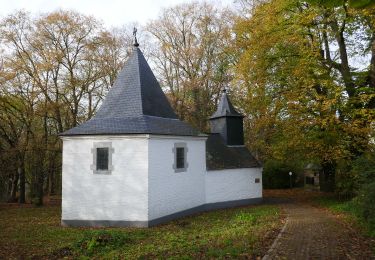
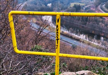
Trail Walking of 5.1 km to be discovered at Wallonia, Liège, Beyne-Heusay. This trail is proposed by pscheven.

Elevation profile

Photos

Points of interest

Point of interest Liège - Unnamed POI - Photo
pscheven
LIÈGE 
Point of interest Liège - Unnamed POI - Photo
pscheven
LIÈGE 
Point of interest Liège - Unnamed POI - Photo
pscheven
LIÈGE 
Point of interest Liège - Unnamed POI - Photo
pscheven
LIÈGE 
Point of interest Liège - Unnamed POI - Photo
pscheven
LIÈGE 
Point of interest Liège - Unnamed POI - Photo
pscheven
LIÈGE 
Point of interest Liège - Unnamed POI - Photo
pscheven
LIÈGE 
Point of interest Liège - Unnamed POI - Photo
pscheven
LIÈGE 
Point of interest Liège - Unnamed POI - Photo
pscheven
LIÈGE 
Point of interest Beyne-Heusay - Unnamed POI - Photo
pscheven
BEYNE-HEUSAY 
Point of interest Beyne-Heusay - Unnamed POI - Photo
pscheven
BEYNE-HEUSAY 

Positioning

Country:
Belgium
Region :
Wallonia
Department/Province :
Liège
Municipality :
Beyne-Heusay
Location:
Beyne-Heusay
Start:(UTM)
688740 ; 5610634 (31U) N.

Comments

Please log in to post a review or rate the element


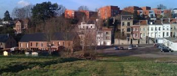
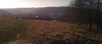
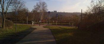
Magnifique promenade ! Je vous la conseille


Trails nearby

Trail Walking Chaudfontaine - RB-Lg-21_Chaudfontaine_via-racc-1-et-2 - Photo
Walking
PRO

Walking

Difficult
(8)
Chaudfontaine, Wallonia, Liège, Belgium
11.6 km | 16.5 km-effort
3h 45min
Yes
Trail Walking Chaudfontaine - RB-Lg-21_Chaudfontaine - Photo
Walking
PRO

Walking

(13)
Chaudfontaine, Wallonia, Liège, Belgium
18 km | 26 km-effort
5h 56min
Yes
Trail Walking Chaudfontaine - Chaudfontaine, Natura 2000 - Des sites qui valent le détour, Lg7 - Photo
Walking
GUIDE+

Walking

Difficult
(13)
Chaudfontaine, Wallonia, Liège, Belgium
5.3 km | 8.7 km-effort
1h 48min
Yes
Trail Walking Olne - 20220307 - Saint-Hadelin 8.8 Km - Photo
Walking
GUIDE
pierreh01

Walking

Medium
(1)
Olne, Wallonia, Liège, Belgium
8.4 km | 10.9 km-effort
2h 24min
Yes
Trail Walking Soumagne - 2021-10-28_12h59m26_1395 - Photo
Walking
GUIDE
mumu.larandonneuse

Walking

Easy
(3)
Soumagne, Wallonia, Liège, Belgium
10.4 km | 13.4 km-effort
3h 2min
Yes
Trail Walking Trooz - 2021-05-16_08h02m48_1403 - Photo
Walking
GUIDE
mumu.larandonneuse

Walking

Difficult
(1)
Trooz, Wallonia, Liège, Belgium
10.1 km | 14.6 km-effort
3h 19min
Yes
Trail Walking Olne - 2021-03-10_16h10m11_1409 - Photo
Walking
GUIDE
mumu.larandonneuse

Walking

Medium
(3)
Olne, Wallonia, Liège, Belgium
11.7 km | 16.1 km-effort
3h 39min
Yes
Trail Walking Liège - GG-Lg-10_Angleur - Nessonvaux - Photo
Walking
PRO

Walking

Very difficult
(2)
Liège, Wallonia, Liège, Belgium
22 km | 32 km-effort
6h 27min
No
Trail Walking Chaudfontaine - La découverte de Sauheid et rocher du bout du monde   - Photo
Walking
GUIDE+

Walking

Medium
(1)
Chaudfontaine, Wallonia, Liège, Belgium
7.8 km | 10.2 km-effort
2h 18min
Yes


Close
My subscriptions