


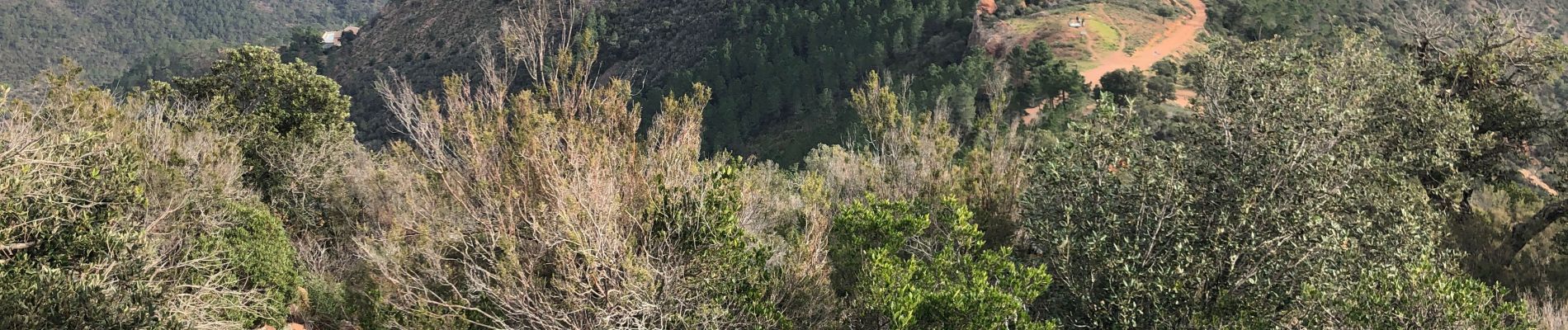
Les grues et le Mont St Martin depuis le col Notre Dame

ETMU5496
User


5h21
Difficulty : Difficult

FREE GPS app for hiking
 SityTrail
IGN / Geographical institutes
SityTrail Plus
The world is yours!
About
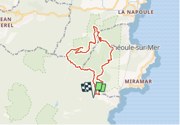
Trail Walking of 16.2 km to be discovered at Provence-Alpes-Côte d'Azur, Var, Saint-Raphaël. This trail is proposed by ETMU5496.
Description
Départ : col Notre Dame
Montée à la crête du Trayas, petite et grosse grue et Col de la Cadière.
On emprunte la piste vers le Mont Saint Martin.
Et retour par le Col des Monges (passage au rocher des Monges pour le point de vue). Puis par la piste qui rejoint le col Notre Dame en contrebas des Grues.
Photos


35 photos in total. Please click on a photo to see them all in the gallery.
Positioning
Comments