


le puech carbonnier

gadafo
User
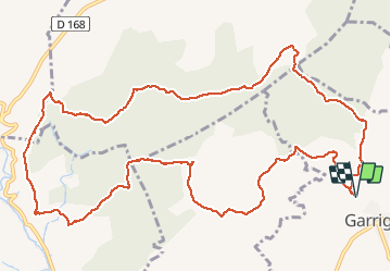

Length
15.3 km

Max alt
223 m

Uphill gradient
324 m
Km-Effort
19.6 km

Min alt
93 m

Downhill gradient
324 m
Boucle
Yes
Creation date :
2019-12-29 09:24:30.155
Updated on :
2025-05-06 06:13:59.379
4h27
Difficulty : Very difficult

FREE GPS app for hiking
 SityTrail
IGN / Geographical institutes
SityTrail Plus
The world is yours!
About
Trail Walking of 15.3 km to be discovered at Occitania, Hérault, Garrigues. This trail is proposed by gadafo.
Positioning
Country:
France
Region :
Occitania
Department/Province :
Hérault
Municipality :
Garrigues
Location:
Unknown
Start:(Dec)
Start:(UTM)
581267 ; 4849912 (31T) N.
Comments
randonnée pas faisable fermé pour cause de partage de taureau