


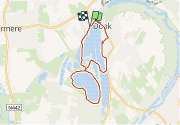
Rond Donkmeer en Nieuwdonk

bometdehamer
User

Length
6.6 km

Max alt
12 m

Uphill gradient
41 m
Km-Effort
7.2 km

Min alt
-3 m

Downhill gradient
44 m
Boucle
Yes
Creation date :
2020-01-05 11:54:40.0
Updated on :
2020-01-05 15:49:43.274
1h48
Difficulty : Easy

FREE GPS app for hiking
 SityTrail
IGN / Geographical institutes
SityTrail Plus
The world is yours!
About
Trail Walking of 6.6 km to be discovered at Flanders, East Flanders, Berlare. This trail is proposed by bometdehamer.
Description
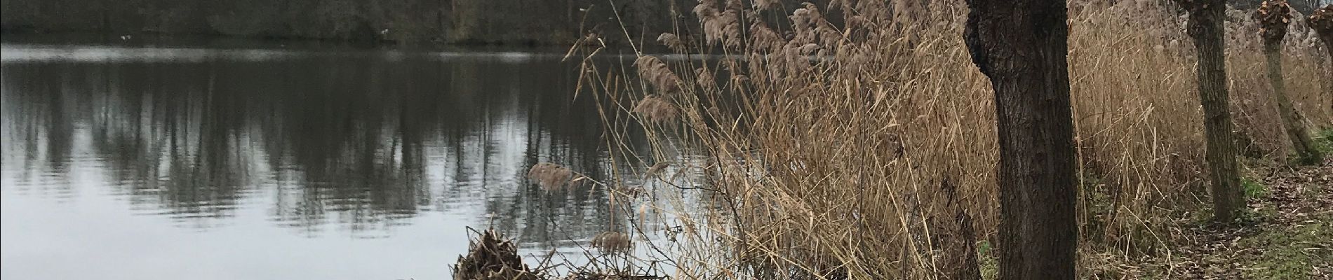
Wandelen (rustig) rond Nieuwdonkmeer en Donkmeer, langs de ‘eendenkooi’.
Photos


Positioning
Country:
Belgium
Region :
Flanders
Department/Province :
East Flanders
Municipality :
Berlare
Location:
Overmere
Start:(Dec)
Start:(UTM)
568424 ; 5655476 (31U) N.
Comments