


2020-01-05 Bois de Boissy

Bernardb44
User

Length
6.7 km

Max alt
80 m

Uphill gradient
52 m
Km-Effort
7.4 km

Min alt
66 m

Downhill gradient
52 m
Boucle
Yes
Creation date :
2020-01-05 14:58:44.595
Updated on :
2020-01-05 16:26:42.71
1h27
Difficulty : Very easy

FREE GPS app for hiking
 SityTrail
IGN / Geographical institutes
SityTrail Plus
The world is yours!
About
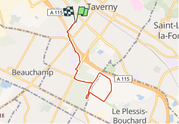
Trail Walking of 6.7 km to be discovered at Ile-de-France, Val-d'Oise, Taverny. This trail is proposed by Bernardb44.
Positioning
Country:
France
Region :
Ile-de-France
Department/Province :
Val-d'Oise
Municipality :
Taverny
Location:
Unknown
Start:(Dec)
Start:(UTM)
442578 ; 5430312 (31U) N.
Comments