


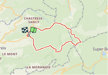

17.7 km | 24 km-effort

User GUIDE


FREE GPS app for hiking
 SityTrail
IGN / Geographical institutes
SityTrail World
The world is yours!
Trail Walking of 14.4 km to be discovered at Auvergne-Rhône-Alpes, Puy-de-Dôme, Chastreix. This trail is proposed by jagarnier.
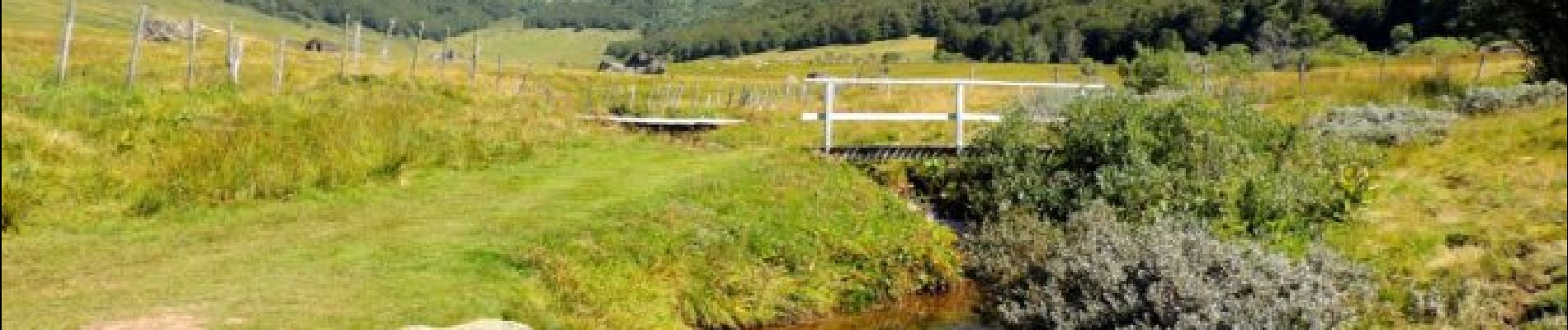
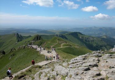
La Vallée de la Fontaine Salée se situe au sud du Massif du Sancy, dans la réserve Naturel National de Chastreix-Sancy.
Cet espace préservé et protégé regorge de beautés naturelles, notamment grâce à une faune et une flore exceptionnelles.

Walking
Walking
Walking

Walking

Walking

On foot
On foot
On foot
On foot