


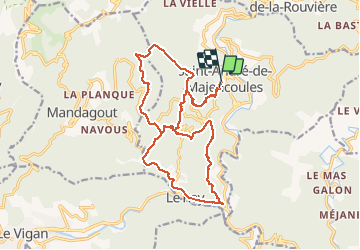

19.4 km | 32 km-effort


User


FREE GPS app for hiking
 SityTrail
IGN / Geographical institutes
SityTrail World
The world is yours!
Trail Walking of 21 km to be discovered at Occitania, Gard, Saint-André-de-Majencoules. This trail is proposed by labarone.
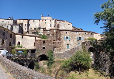
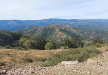
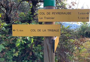
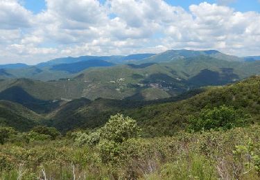
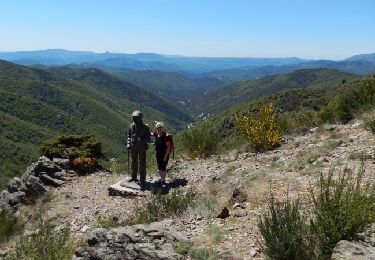
À mi chemin table pour pique nique. Deuxième partie plus beau paysage


Walking

Walking

Walking
Walking
Walking
Walking
Walking
Walking