


20200208 rando RF Malmont

Sugg
User
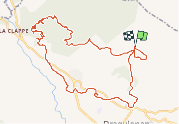

Length
15 km

Max alt
515 m

Uphill gradient
418 m
Km-Effort
21 km

Min alt
196 m

Downhill gradient
418 m
Boucle
Yes
Creation date :
2020-01-08 08:24:58.798
Updated on :
2020-01-08 16:35:54.753
6h41
Difficulty : Medium

FREE GPS app for hiking
 SityTrail
IGN / Geographical institutes
SityTrail Plus
The world is yours!
About
Trail Walking of 15 km to be discovered at Provence-Alpes-Côte d'Azur, Var, Draguignan. This trail is proposed by Sugg.
Description
rando RF Malmont circuit de l'eau Dragon
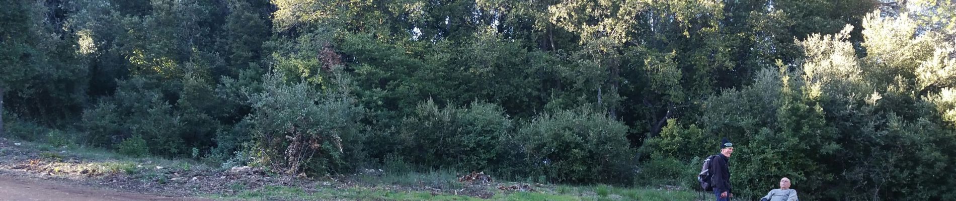
Photos


Positioning
Country:
France
Region :
Provence-Alpes-Côte d'Azur
Department/Province :
Var
Municipality :
Draguignan
Location:
Unknown
Start:(Dec)
Start:(UTM)
295325 ; 4825779 (32T) N.
Comments