Trail Walking Venasque - Corneirette/mur de la peste - Photo

Corneirette/mur de la peste

© OpenStreetMap contributors
Length
Length
16.8 km
Max alt
Max alt
647 m
Uphill gradient
Uphill gradient
416 m
Km-Effort
Km-Effort  
22 km
Min alt
Min alt
508 m
Downhill gradient
Downhill gradient
416 m
Boucle
Boucle
Yes
Creation date :
2020-01-09 08:34:42.096
Updated on :
2020-01-10 06:55:27.134

(0 Reviews)

Walking
Walking
5h51
Difficulty : Very easy

Scan this QR Code to open this trail in the SityTrail application

FREE GPS app for hiking

Logo SityTrail SityTrail

IGN / Geographical institutes

Download SityTrail from the App Store Download SityTrail from Google Play

Logo SityTrail SityTrail Plus

The world is yours!

Download SityTrail from the App Store Download SityTrail from Google Play Download SityTrail on Huawei AppGallery

About

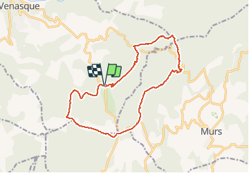
Trail Walking of 16.8 km to be discovered at Provence-Alpes-Côte d'Azur, Vaucluse, Venasque. This trail is proposed by FLORENSAC.

Description

une rando tranquille sans difficultés nous avons mangé au jas du griffon
une a deux fois par an on apporte les grillades que l'on fait cuire dans la
cheminée a l'intérierur de la bergerie
en hiver quelques endroits bien humides que l'on peut contourner
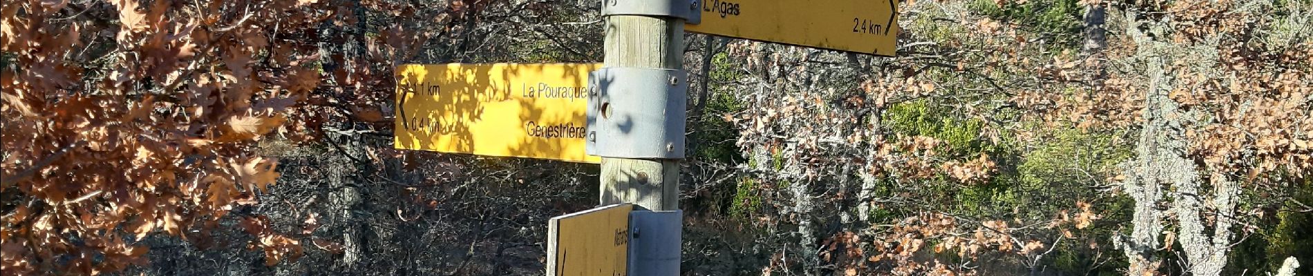
Elevation profile

Photos

Positioning

Country:
France
Region :
Provence-Alpes-Côte d'Azur
Department/Province :
Vaucluse
Municipality :
Venasque
Location:
Unknown
Start:(UTM)
675616 ; 4870584 (31T) N.


Close
My subscriptions