


Mont Noir, Saint Jans Capelle. boucle

reneperrin
User
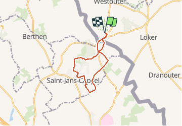

Length
9.2 km

Max alt
132 m

Uphill gradient
144 m
Km-Effort
11.1 km

Min alt
31 m

Downhill gradient
142 m
Boucle
Yes
Creation date :
2020-01-12 10:44:50.51
Updated on :
2020-01-12 13:04:01.423
1h58
Difficulty : Very easy

FREE GPS app for hiking
 SityTrail
IGN / Geographical institutes
SityTrail Plus
The world is yours!
About
Trail Walking of 9.2 km to be discovered at Flanders, West Flanders, Heuvelland. This trail is proposed by reneperrin.
Description
boucle autour du Mont Noir
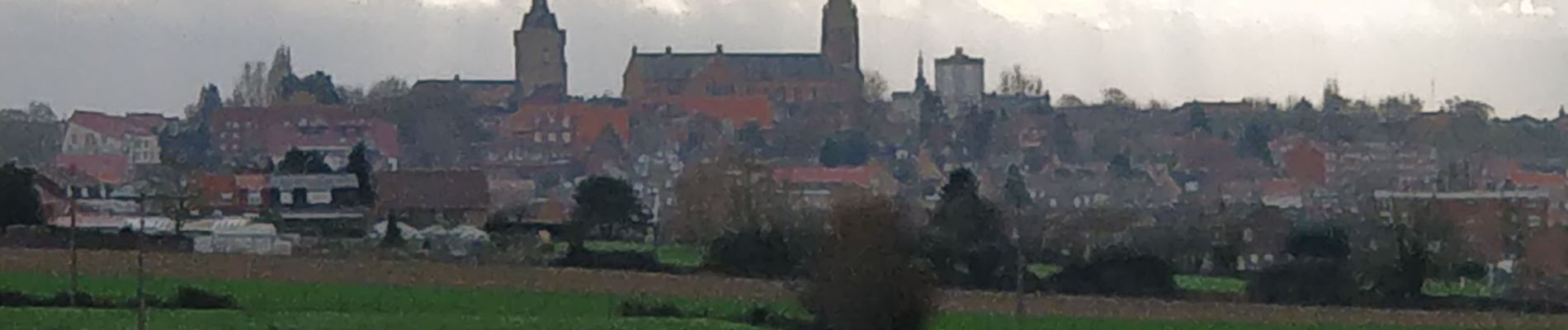
Photos

Positioning
Country:
Belgium
Region :
Flanders
Department/Province :
West Flanders
Municipality :
Heuvelland
Location:
Westouter
Start:(Dec)
Start:(UTM)
481880 ; 5625905 (31U) N.
Comments