


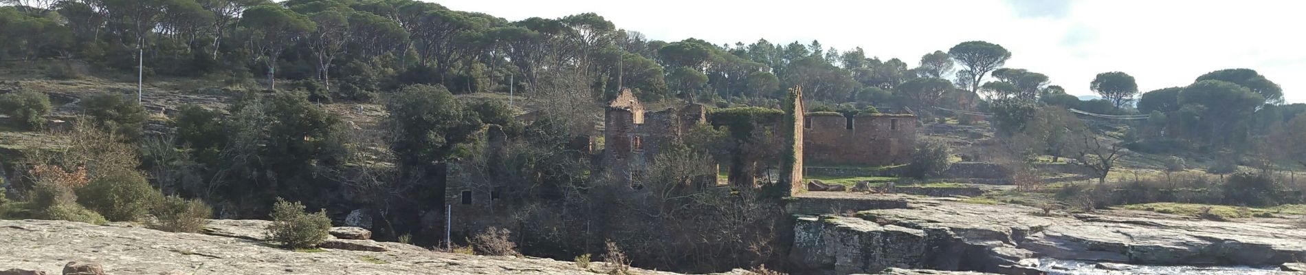
20200113 L'Aille pont de fer

Sugg
User
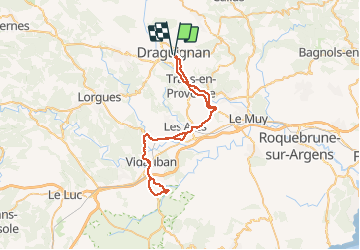

Length
57 km

Max alt
187 m

Uphill gradient
574 m
Km-Effort
64 km

Min alt
39 m

Downhill gradient
580 m
Boucle
No
Creation date :
2020-01-13 10:01:42.285
Updated on :
2020-01-13 13:08:24.112
3h00
Difficulty : Easy

FREE GPS app for hiking
 SityTrail
IGN / Geographical institutes
SityTrail Plus
The world is yours!
About
Trail Road bike of 57 km to be discovered at Provence-Alpes-Côte d'Azur, Var, Draguignan. This trail is proposed by Sugg.
Description
vélo route avec Martine
Photos

Positioning
Country:
France
Region :
Provence-Alpes-Côte d'Azur
Department/Province :
Var
Municipality :
Draguignan
Location:
Unknown
Start:(Dec)
Start:(UTM)
295087 ; 4823144 (32T) N.
Comments