


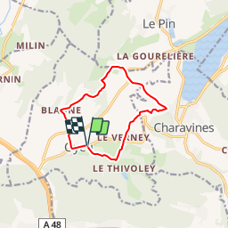

16.5 km | 24 km-effort


User


FREE GPS app for hiking
 SityTrail
IGN / Geographical institutes
SityTrail World
The world is yours!
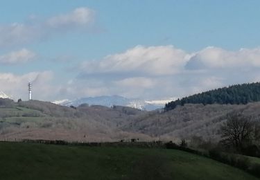
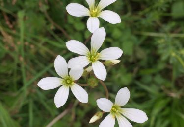
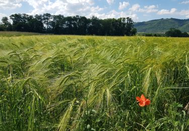
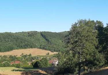
Trail Walking of 10 km to be discovered at Auvergne-Rhône-Alpes, Isère, Oyeu. This trail is proposed by raymondfn.
départ Oyeu
PR Pays de Bièvre Valloire

Walking
Walking
Walking
Walking
Walking
Mountain bike

Motor
Walking

Mountain bike