


rechesy1

bubu90
User
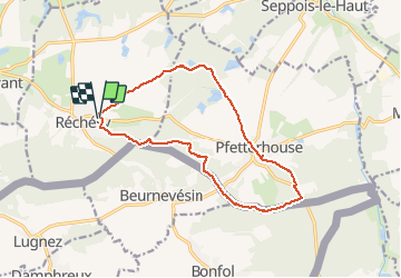

Length
13.8 km

Max alt
513 m

Uphill gradient
248 m
Km-Effort
17.1 km

Min alt
420 m

Downhill gradient
248 m
Boucle
Yes
Creation date :
2020-01-14 12:29:13.686
Updated on :
2020-01-14 16:21:32.455
2h41
Difficulty : Very easy

FREE GPS app for hiking
 SityTrail
IGN / Geographical institutes
SityTrail Plus
The world is yours!
About
Trail Walking of 13.8 km to be discovered at Bourgogne-Franche-Comté, Territoire-de-Belfort, Réchésy. This trail is proposed by bubu90.
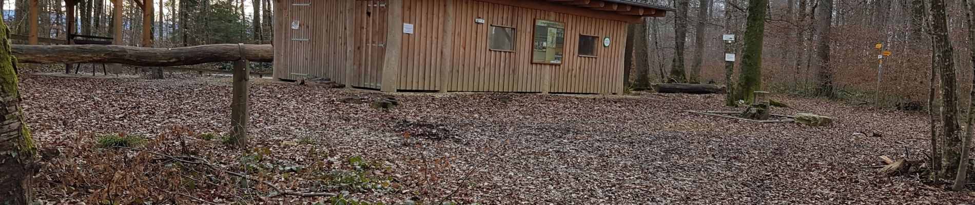
Photos

Positioning
Country:
France
Region :
Bourgogne-Franche-Comté
Department/Province :
Territoire-de-Belfort
Municipality :
Réchésy
Location:
Unknown
Start:(Dec)
Start:(UTM)
358244 ; 5263422 (32T) N.
Comments