


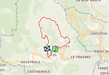
Rocher de Trenze :

ARPF1
User

Length
13.8 km

Max alt
1417 m

Uphill gradient
837 m
Km-Effort
25 km

Min alt
606 m

Downhill gradient
841 m
Boucle
Yes
Creation date :
2020-01-17 13:47:49.344
Updated on :
2020-01-17 13:50:46.183
5h00
Difficulty : Difficult

FREE GPS app for hiking
 SityTrail
IGN / Geographical institutes
SityTrail Plus
The world is yours!
About
Trail On foot of 13.8 km to be discovered at Occitania, Lozère, Vialas. This trail is proposed by ARPF1.
Positioning
Country:
France
Region :
Occitania
Department/Province :
Lozère
Municipality :
Vialas
Location:
Unknown
Start:(Dec)
Start:(UTM)
571359 ; 4909179 (31T) N.
Comments