Barr - sentier géologique - Landsberg - kiosque du Jadelot

Bart2015
User


3h42
Difficulty : Medium

FREE GPS app for hiking
 SityTrail
IGN / Geographical institutes
SityTrail Plus
The world is yours!
About
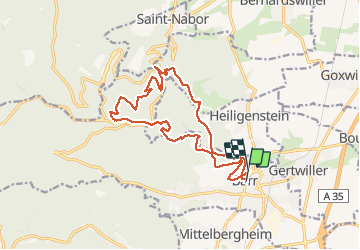
Trail Walking of 15.7 km to be discovered at Grand Est, Bas-Rhin, Barr. This trail is proposed by Bart2015.
Description
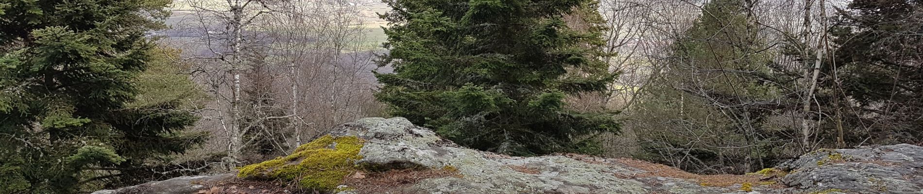
Le sentier géologique, créé par le club Vosgien de Barr, serpente à travers de magnifiques paysages sur les pentes du Mont Sainte Odile. Il est l'occasion d'une très agréable randonnée. Des panneaux explicatifs jalonnent la balade et explique l'évolution géologique de la région de l'ère primaire jusqu'à nos jours.
Le long du parcours, on rencontre quelques sites historiques : Abbaye de Truttenhausen, Mur Païen du Mont St Odile, Château de Landsberg.
Pour finir, magnifique point de vue du kiosque Jadelot.
Pourquoi ne pas terminer cette rando par une bonne dégustation ...
Bonne randonnée
Photos


56 photos in total. Please click on a photo to see them all in the gallery.
Positioning
Comments