


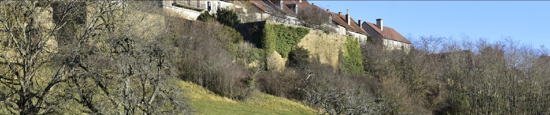
Macornay, Mancy, montaigu, Moiron, Vaux

drarep
User
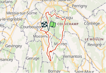

Length
13.9 km

Max alt
444 m

Uphill gradient
501 m
Km-Effort
21 km

Min alt
265 m

Downhill gradient
501 m
Boucle
Yes
Creation date :
2020-01-18 18:02:06.365
Updated on :
2020-01-18 18:05:01.957
4h18
Difficulty : Medium

FREE GPS app for hiking
 SityTrail
IGN / Geographical institutes
SityTrail Plus
The world is yours!
About
Trail Walking of 13.9 km to be discovered at Bourgogne-Franche-Comté, Jura, Macornay. This trail is proposed by drarep.
Description
Jean Marc
Photos


Positioning
Country:
France
Region :
Bourgogne-Franche-Comté
Department/Province :
Jura
Municipality :
Macornay
Location:
Unknown
Start:(Dec)
Start:(UTM)
695034 ; 5169241 (31T) N.
Comments