


walden2

vijl
User
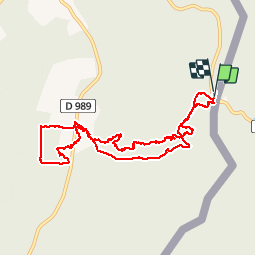

Length
10.1 km

Max alt
438 m

Uphill gradient
193 m
Km-Effort
12.7 km

Min alt
285 m

Downhill gradient
194 m
Boucle
Yes
Creation date :
2014-12-10 00:00:00.0
Updated on :
2014-12-10 00:00:00.0
3h57
Difficulty : Unknown

FREE GPS app for hiking
 SityTrail
IGN / Geographical institutes
SityTrail Plus
The world is yours!
About
Trail Walking of 10.1 km to be discovered at Grand Est, Ardennes, Hargnies. This trail is proposed by vijl.
Description
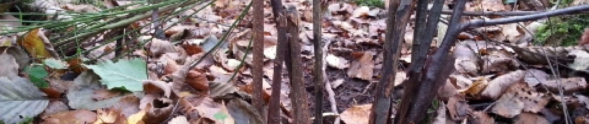
paddestoelen
Photos


Positioning
Country:
France
Region :
Grand Est
Department/Province :
Ardennes
Municipality :
Hargnies
Location:
Unknown
Start:(Dec)
Start:(UTM)
630143 ; 5540531 (31U) N.
Comments