


sites_et_panoramas_0

olivieraron
User
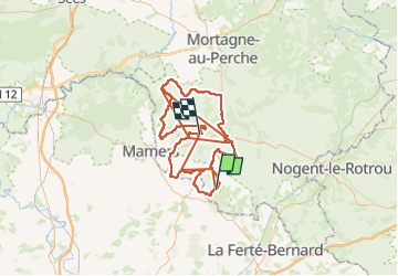

Length
151 km

Max alt
247 m

Uphill gradient
2236 m
Km-Effort
180 km

Min alt
75 m

Downhill gradient
2184 m
Boucle
No
Creation date :
2020-01-25 09:50:35.563
Updated on :
2020-01-25 09:50:35.563

FREE GPS app for hiking
 SityTrail
IGN / Geographical institutes
SityTrail Plus
The world is yours!
About
Trail of 151 km to be discovered at Normandy, Orne, Pouvrai. This trail is proposed by olivieraron.
Positioning
Country:
France
Region :
Normandy
Department/Province :
Orne
Municipality :
Pouvrai
Location:
Unknown
Start:(Dec)
Start:(UTM)
316929 ; 5351170 (31U) N.
Comments