


uzes. bord alzon

NADINE52
User
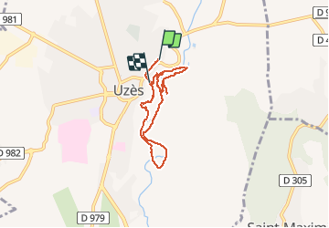

Length
6.8 km

Max alt
131 m

Uphill gradient
115 m
Km-Effort
8.3 km

Min alt
69 m

Downhill gradient
113 m
Boucle
No
Creation date :
2020-01-25 10:01:22.332
Updated on :
2020-01-25 13:41:25.546
3h35
Difficulty : Very easy

FREE GPS app for hiking
 SityTrail
IGN / Geographical institutes
SityTrail Plus
The world is yours!
About
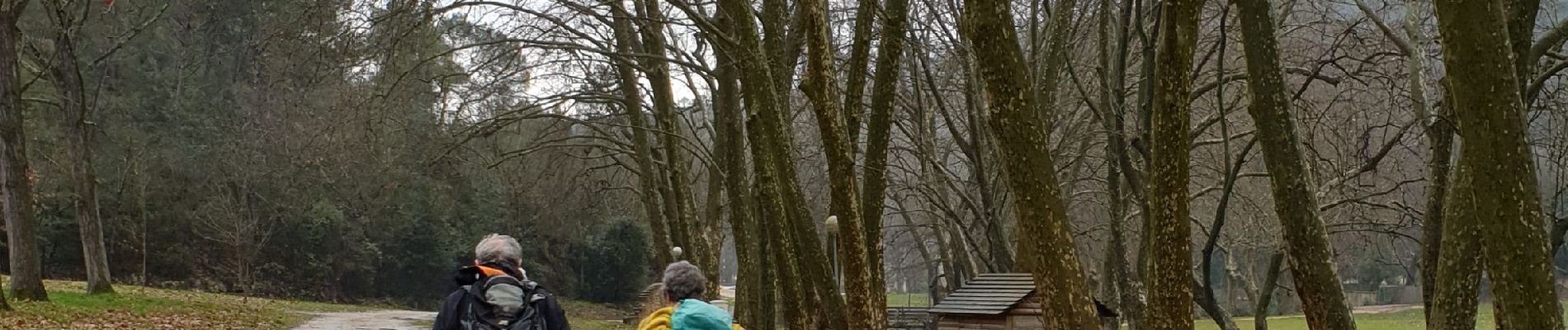
Trail Walking of 6.8 km to be discovered at Occitania, Gard, Uzès. This trail is proposed by NADINE52.
Photos


Positioning
Country:
France
Region :
Occitania
Department/Province :
Gard
Municipality :
Uzès
Location:
Unknown
Start:(Dec)
Start:(UTM)
614260 ; 4874653 (31T) N.
Comments