


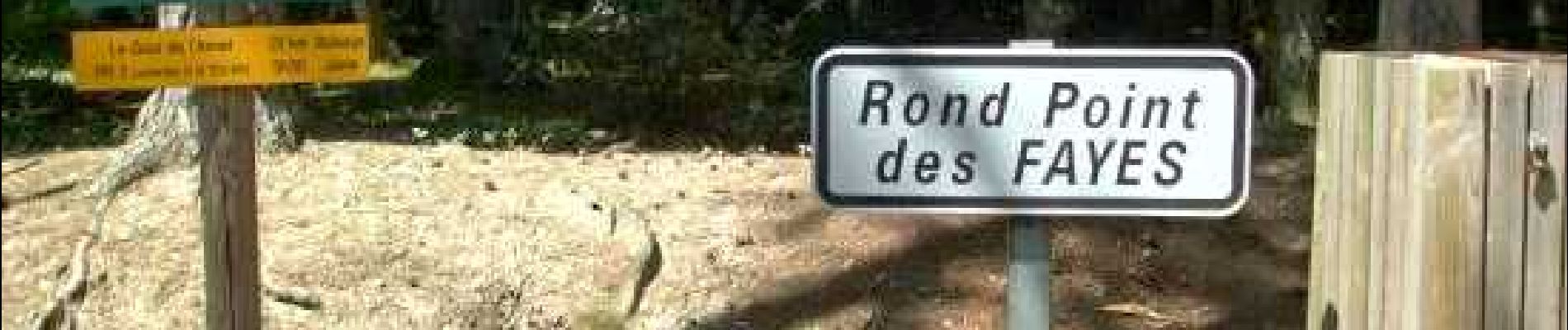
Coutansouze_Gour_Annet

jagarnier
User GUIDE

Length
21 km

Max alt
609 m

Uphill gradient
455 m
Km-Effort
27 km

Min alt
419 m

Downhill gradient
455 m
Boucle
Yes
Creation date :
2020-01-28 07:00:16.558
Updated on :
2023-11-29 09:02:55.467
6h30
Difficulty : Difficult

FREE GPS app for hiking
 SityTrail
IGN / Geographical institutes
SityTrail Plus
The world is yours!
About
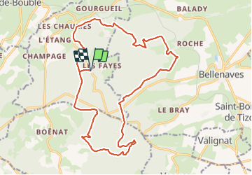
Trail Walking of 21 km to be discovered at Auvergne-Rhône-Alpes, Allier, Coutansouze. This trail is proposed by jagarnier.
Description
Longues traversées dans les célèbres hêtraies au cœur de la forêt domaniale des Colettes, descente dans la secrète vallée de la Veauce … une immersion dans le peuple des arbres.
Photos

Positioning
Country:
France
Region :
Auvergne-Rhône-Alpes
Department/Province :
Allier
Municipality :
Coutansouze
Location:
Unknown
Start:(Dec)
Start:(UTM)
501107 ; 5116312 (31T) N.
Comments