


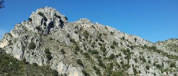
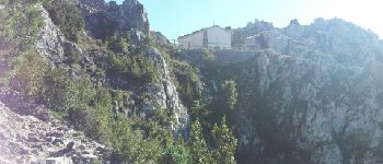
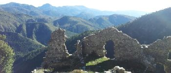
Ruines de Rocca Sparviera depuis Coaraze

boboazur
User


5h48
Difficulty : Medium

FREE GPS app for hiking
 SityTrail
IGN / Geographical institutes
SityTrail Plus
The world is yours!
About
Trail Walking of 15.2 km to be discovered at Provence-Alpes-Côte d'Azur, Maritime Alps, Coaraze. This trail is proposed by boboazur.
Description
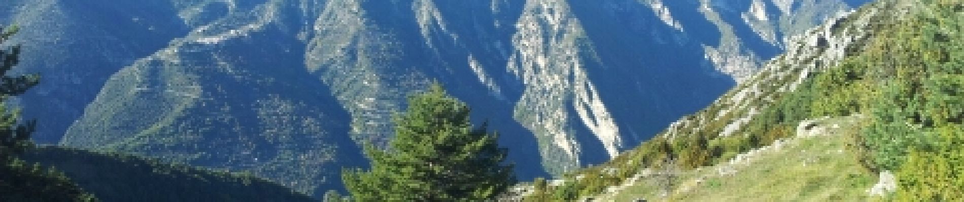
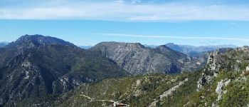
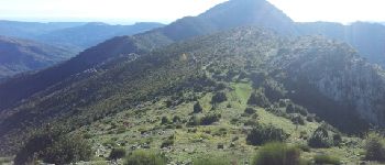
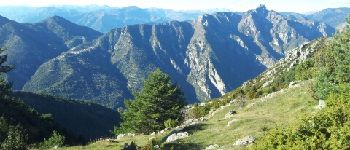
Belle rando au départ de Coaraze, en boule à partir des Ruines de Rocca Sparviera avec une tres belle vue dégagée mer et cimes du Mercantour. Possibilité à partir de la b 448 de continuer l'ascension jusqu'à la cime de Roccassiera puis retour via le Col de Lobe b449.
Photos


Positioning
Comments