


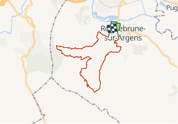
20200129 roque brune randonnée réelle

Sugg
User

Length
16.3 km

Max alt
259 m

Uphill gradient
516 m
Km-Effort
23 km

Min alt
15 m

Downhill gradient
524 m
Boucle
No
Creation date :
2020-01-29 08:26:30.643
Updated on :
2020-01-29 14:40:06.804
6h11
Difficulty : Medium

FREE GPS app for hiking
 SityTrail
IGN / Geographical institutes
SityTrail Plus
The world is yours!
About
Trail Walking of 16.3 km to be discovered at Provence-Alpes-Côte d'Azur, Var, Roquebrune-sur-Argens. This trail is proposed by Sugg.
Description
randonnée RF gr1
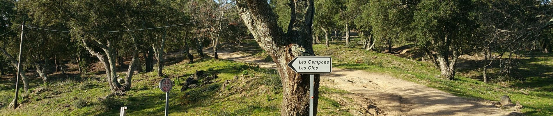
Photos


Positioning
Country:
France
Region :
Provence-Alpes-Côte d'Azur
Department/Province :
Var
Municipality :
Roquebrune-sur-Argens
Location:
Unknown
Start:(Dec)
Start:(UTM)
307908 ; 4812533 (32T) N.
Comments