


Bec pointu

ajd26
User


Length
11.2 km

Max alt
1317 m

Uphill gradient
893 m
Km-Effort
23 km

Min alt
571 m

Downhill gradient
908 m
Boucle
Yes
Creation date :
2020-01-31 08:12:48.0
Updated on :
2020-01-31 17:29:20.273
3h39
Difficulty : Difficult

FREE GPS app for hiking
 SityTrail
IGN / Geographical institutes
SityTrail Plus
The world is yours!
About
Trail Walking of 11.2 km to be discovered at Auvergne-Rhône-Alpes, Drôme, Eygluy-Escoulin. This trail is proposed by ajd26.
Description
Départ Chapelle d’Escoulin, crêtes jusqu’au col Bernard (qlq passages délicats) et Bec Pointu
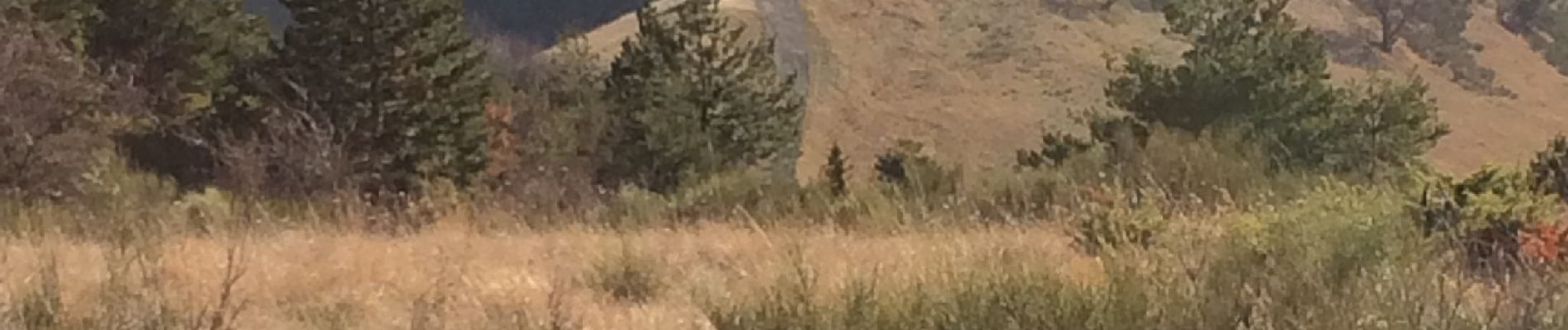
Photos


Positioning
Country:
France
Region :
Auvergne-Rhône-Alpes
Department/Province :
Drôme
Municipality :
Eygluy-Escoulin
Location:
Unknown
Start:(Dec)
Start:(UTM)
675099 ; 4963759 (31T) N.
Comments