


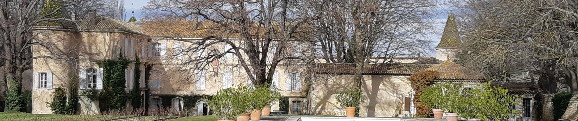
Vernègues

fhascoet
User
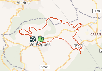

Length
11.7 km

Max alt
387 m

Uphill gradient
276 m
Km-Effort
15.4 km

Min alt
189 m

Downhill gradient
277 m
Boucle
Yes
Creation date :
2020-02-02 09:35:17.51
Updated on :
2020-02-02 15:17:32.06
4h23
Difficulty : Easy

FREE GPS app for hiking
 SityTrail
IGN / Geographical institutes
SityTrail Plus
The world is yours!
About
Trail Walking of 11.7 km to be discovered at Provence-Alpes-Côte d'Azur, Bouches-du-Rhône, Vernègues. This trail is proposed by fhascoet.
Photos


Positioning
Country:
France
Region :
Provence-Alpes-Côte d'Azur
Department/Province :
Bouches-du-Rhône
Municipality :
Vernègues
Location:
Unknown
Start:(Dec)
Start:(UTM)
674945 ; 4839218 (31T) N.
Comments